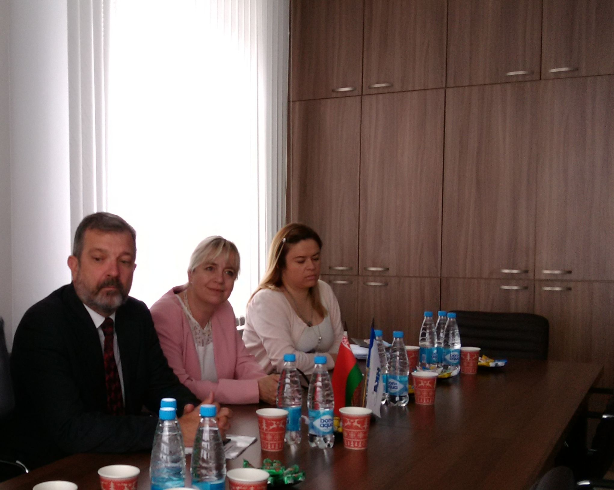
On May 16-17, 2017, the delegation of EuroGeographics, an association uniting the state geodetic and cartographic services of European countries led by the Secretary General and the Executive Director of the association Mick Cory visited the State Committee on Property of the Republic of Belarus for the first time.

During the visit to Minsk the guests got acquainted with the system of the State Committee on Property, directions and results of activities of organizations subordinated to the State Committee on Property, and also presented a presentation on the activities of EuroGeographics, its projects, products and services.

The delegation of EuroGeographics visited the State Scientific and Production State Unitary Enterprise "National Cadastral Agency", UE "Project Institute Belgiprozem", which, along with a presentation introducing the institute, also presented the capabilities of the Topographic and Geodetic Republican Unitary Enterprise "Belgeodesy".


During the meetings with the representatives of EuroGeographics, a number of systems, services and electronic geo-information resources were developed and maintained by organizations that are members of the State Committee on Property, such as:
The Satellite Precision Positioning System (SSTP) of the Republic of Belarus is designed to obtain the coordinates and heights of geodetic and survey locations, topographic surveys, determine the coordinates of the boundaries of land plots, landmarks and turning points of the administrative boundaries of the aerial photo camera centers in a given coordinate system, for providing cadastres (forest, water), engineering surveys, design and survey work in construction stve, executive shootings and other forms of differential and relative positions of objects definitions;
A public cadastral map compiled on the basis of all spatial information contained in the registers and registers of the NCA;
The geoportal of the land information system of the Republic of Belarus is an Internet resource that is a full-featured open geoinformation system designed to automate the storage, processing and provision of spatial information, which is a single point of access to a variety of information resources with tools for viewing, searching for geospatial information, distribution and search for geoservices;
Web-based geographic information system "Navigation map";
Geoinformational resource remote sensing data, and others.

According to the Secretary General of EuroGeographics, representatives of the association were impressed not only by the ability within a single state body to "manage a wide range of activities: aerial photography, cartography, cadastre, and others," but also "high that can be compared with the swiss, works "of Belarusian enterprises. As Mick Cory emphasized, "The creation of maps today has a different value - it is important that you do with these maps, because the world has not been limited to the plane of two dimensions for a long time."

The Chairman of the State Committee on Property, Andrey Gaev, noted that a clear management vertical was created for each area of activity in the department (geodesy, cartography, cadastre, etc.), and their unification in the framework of one state agency allowed the system of the State Committee on Property "not to lose bases, to develop further, to work in the interests of the state and society, while avoiding unnecessary bureaucratic barriers. "

Mick Cory expressed his gratitude to the leadership of the State Committee on Property of the Republic of Belarus for the "opportunity to see deep inside the work" of the State Committee on Property in a short time, "to see a lot of opportunities for cooperation and to choose from them priority at this stage."

The first of the proposed "EuroGeographics" directions for cooperation with Belarus is the participation of the State Committee on Property of the Republic of Belarus, as a member of this international association, in its General Assembly where there is an exchange of views and experience at the level of heads of national cadastral structures. The next "EuroGeographics" assembly will be held in October this year in Vienna and the State Committee on Property has agreed to participate in its work.
Also, "EuroGeographics" made proposals on organizing meetings at the level of representatives of cadastral bodies, technical experts in the field of spatial data producers,
The Chairman of the State Committee on Property said that he finds these "EuroGeographics" initiatives acceptable, that the Belarusian side is open to various topics and it is necessary to move step by step further in the development of mutually beneficial cooperation.
For reference:
EuroGeographics includes over 60 organizations from 46 countries, including the Republic of Belarus represented by the State Committee on Property of the Republic of Belarus.
The main tasks of the International Association "EuroGeographics" are: the development and strengthening of cooperation between the state geodetic and cartographic organizations of European countries; Exchange of experience in organizing and conducting geodetic and cartographic works in the interests of the member states of EuroGeographics; addressing the return of budget funds invested in surveying and mapping work; and also the solution of questions of preservation of copyright and property right for cartographic works.
The Association was formed in September 2000 in Sweden. At the XXIII General Assembly of CERCO, a joint meeting of the heads of the State Geodetic and Cartographic Services of the European member states of CERCO and the management of the pan-European organization MEGRIN (multi-purpose network for the development and implementation of pan-European projects in the field of geodesy and cartography) took place, at which it was decided to dissolve CERCO and MEGRIN and the establishment on the basis of these organizations of a new pan-European association "EuroGeographics".


